
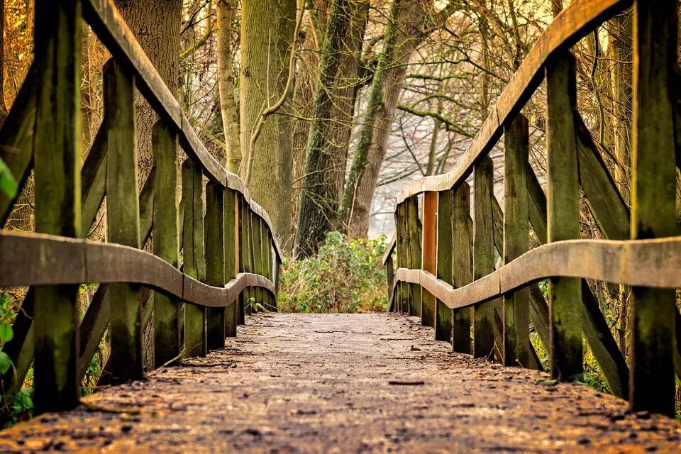
In Park Rapids, the most revealing place may not be the courthouse square or a shopping block. It is the short stretch where Red Bridge Park, Heartland Park and the Heartland Trail meet along the Fish Hook River. The city’s own parks information says Red Bridge Park is only one acre, sits on Beach Road, connects by the red bridge to Heartland Park, and serves as a trailhead for the Heartland Trail . That is a small footprint with an outsized role: it shows how Park Rapids works as a town where water, walking, biking, parking and public gathering all overlap.
Connected parks and the Heartland Trail
That connection matters because Park Rapids is not just a single downtown anchored by Main Street. It is a community with several layers of public space. The city lists neighborhood and civic parks such as Deane Park, Depot Park, Lindquist Park, Olson Ball Field, Pioneer Park and Rice Park, while Red Bridge Park stands out as the place where the river corridor becomes a route rather than a destination . When a town’s parks are used for both recreation and circulation, residents experience it differently than they would a city with isolated playgrounds and separate trail systems.
The Heartland Trail adds a regional dimension. A county recreational-plan summary says the trail starts in Park Rapids and extends to Cass Lake, making the city a true trailhead community rather than a place that simply advertises trail access nearby . That distinction is useful for anyone planning a ride, a family walk or a day of errands. It means the same corridor that brings visitors into town also gives locals a practical way to move through the area, linger by the river, or connect to longer rides into the broader Heartland Lakes region.
Downtown and regional recreation
Park Rapids’ downtown story fits this pattern. The chamber describes downtown as a place for shopping, food and beverage options, festivals and a historic main-street feel, and its event coverage points to recurring programming such as the 2nd Street Stage . In other words, downtown is not separate from the river corridor; it is part of the same daily geography. A person can move from a trail stop to a coffee run, from a park bench to a storefront, without leaving the basic rhythm of the city. That is one reason Park Rapids feels more connected than its population size might suggest.
The city’s broader park and trail network reinforces that idea. The chamber’s outdoor pages place Park Rapids within a larger system that includes the Lake Country Scenic Byway, the Crow Wing River State Water Trail, state forests and Itasca State Park, while also making clear that Itasca is a regional anchor, not a neighborhood inside Park Rapids . For residents and visitors alike, that distinction helps set expectations. Park Rapids is the service and gathering center; the nearby parks and larger natural assets are part of the experience, but they do not replace the town’s own public spaces.
County recreation adds another layer of everyday use. Hubbard County says it maintains public boat accesses and beaches at Stony Lake, the Fish Hook River at Heartland Park, Garfield Lake near Laporte and Paine Lake at Lake George Community Park . This matters because local recreation is spread across several places, not concentrated in one municipal park. A family can fish, swim, launch a boat or spend an afternoon at a county beach without treating Park Rapids as a stand-alone island. The town is the hub, but the surrounding water access points are part of the same lived geography.
Transportation and the airport
That regional pattern also affects how people move. Heartland Express says it provides curb-to-curb bus service to Park Rapids and Bemidji, and that it can get riders around the city itself . For many households, that is not a background detail; it is the difference between a park visit, a medical appointment, a shopping trip and a missed opportunity. Transit does not replace walking or driving, and it is not the same thing as a guaranteed commute solution, but it does give the community another way to connect public spaces, services and neighbors.
The airport is part of that practical network too. Park Rapids Municipal Airport’s page says the facility offers 44 T-hangars for rent and a second-floor terminal meeting room available by the day or half day . That may sound like an aviation detail, but it says something broader about the city. In Park Rapids, infrastructure is rarely just one-purpose. A place can support pilots, community meetings and local access in the same footprint, just as Red Bridge Park supports both leisure and movement.
Why the connections matter
Taken together, these facts point to a simple but important idea: Park Rapids is best understood as a connected town. Its river corridor links downtown to the trail system. Its parks system stretches from neighborhood green space to regional recreation. Its county beaches and public accesses widen the map beyond city limits. And its transit and airport show that mobility is built into the community at several scales .
If you live here, that means a short outing can become a fuller understanding of the place. Start at Red Bridge Park, cross toward Heartland Park, notice where the trail begins and how the river bends the town’s daily rhythm. If you are new to Park Rapids, it is one of the best ways to see how the city really works: not as a cluster of separate attractions, but as a place where parks, streets, water and community life meet.
A good next step is simple: spend an hour tracing the Red Bridge corridor on foot, then compare it with one downtown stop and one county recreation site. The route will tell you more about Park Rapids than a brochure ever could.