
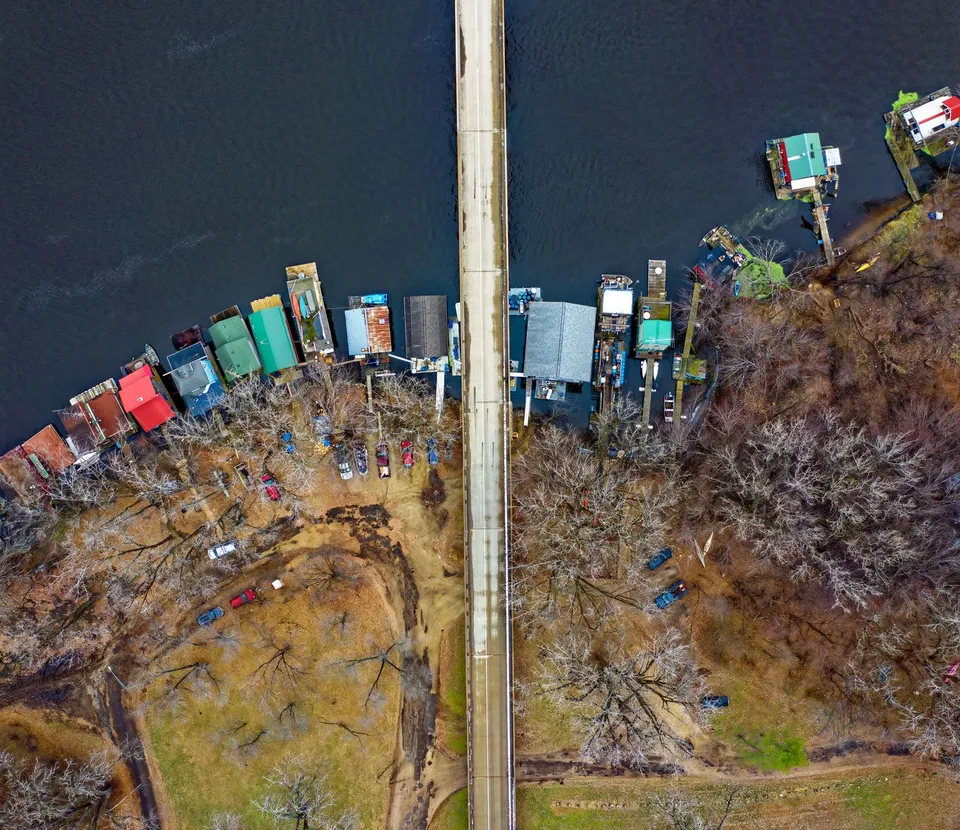
In Park Rapids, one of the most revealing places is not a grand landmark or a busy commercial strip. It is a one-acre park beside the Fish Hook River, where a red bridge links to another park and to the Heartland Trail. That small junction says a lot about how the town works: Park Rapids is shaped by connections, not by isolated attractions. Red Bridge Park sits on Beach Road, covers just one acre, connects by the red bridge to Heartland Park, and serves as a trailhead for the Heartland Trail.
A one-acre park with a much larger job
Red Bridge Park is easy to underestimate until you notice what it connects. The city’s parks page describes it as a compact riverfront park, but its real value is the way it ties together walking, fishing, trail use, and the everyday movement of people through town. In a place like Park Rapids, a small public space can do the work of a much larger one if it sits at the right crossing.
That matters because the Heartland Trail is not just a local path for a casual stroll. County planning material describes it as starting in Park Rapids and extending to Cass Lake, while chamber material frames it as a major regional route of more than 100 miles. In other words, the trailhead at Red Bridge Park is not a decorative signpost; it is a literal entry point into a regional network of recreation and travel.
The bridge also helps explain why Park Rapids feels more layered than a simple downtown-plus-suburbs map. The river corridor is where built space and outdoor use overlap. People do not only come here to “go to the park.” They move through it, across it, and out of it toward the trail system. That is a subtle but important difference, and it is part of why the city’s riverfront feels like infrastructure as much as scenery.
Why the shortcut matters on an ordinary day
The most useful places in small towns are often the ones that make everyday life simpler. In Park Rapids, downtown is described by the chamber as a civic and social space with shopping, festivals, food and beverage options, and recurring programming such as the 2nd Street Stage. That means the town center is not just a row of businesses; it is also where local routines, events, and community identity overlap.
That overlap helps explain why a river crossing matters so much. A person can move from downtown errands to a park visit to a trail outing without treating each as a separate destination. The city’s park system reinforces that pattern. Park Rapids lists Red Bridge Park, Deane Park, Depot Park, Lindquist Park, Olson Ball Field, Pioneer Park, and Rice Park, which shows that public space is scattered through town rather than hidden in one large recreation complex.
For a resident, that arrangement changes how the town feels. For a visitor, it changes how quickly Park Rapids becomes legible. You do not need to know every street to understand the pattern: downtown supplies services and events, the river corridor provides a natural hinge, and the trail system carries people outward into the wider Heartland Lakes area. That is a more practical way to read the town than assuming everything happens on one main block.
The wider network behind the riverfront
Park Rapids is also part of a broader recreation landscape, and the county’s park system makes that clear. Hubbard County says it maintains public boat accesses and beaches at Stony Lake, Fish Hook River at Heartland Park, Garfield Lake near Laporte, and Paine Lake at Lake George Community Park. Those sites show that everyday recreation in this area is distributed across the county, not concentrated in one city park or one lake.
That countywide pattern matters for families, lake property owners, and anyone planning a weekend outside. It means a Park Rapids day might start on a trail, shift to a beach, and end downtown for dinner or an event. It also means the city is not the whole recreation story; it is the hub that helps people reach the rest of it. The town’s value is partly geographic and partly logistical. It sits where routes, parks, and services meet.
Transportation is part of that story too. Heartland Express says it provides safe, reliable transportation for Hubbard County residents, with curb-to-curb bus service to Park Rapids and Bemidji and service around the City of Park Rapids. It also says it works with Veterans Services, Community Education, Social Services, Medicaid, and other local supports. That means mobility in Park Rapids is not only about a personal vehicle; for some residents, it is also about a countywide ride network that connects daily life to appointments, errands, and services.
What Park Rapids looks like when you follow the connections
Once you start reading Park Rapids through its connections, the town becomes easier to understand. Red Bridge Park is not merely a pretty spot on the river. It is a trailhead, a crossing, and a piece of the town’s circulation system. Downtown is not merely retail frontage. It is where public life, events, and practical errands overlap. County beaches and boat accesses are not random amenities. They are part of a shared geography that lets residents move between water, trail, and town.
That is why Park Rapids often feels bigger than its size and smaller than its map. The town works because its pieces are close enough to touch each other. The bridge reaches the trail, the trail reaches beyond the city, downtown reaches the parks, and the county system reaches around all of it. In a place built on lakes, roads, and seasonal movement, those links are the real center.
If you want a better feel for Park Rapids, start with the simplest walk in town: cross the red bridge, look at where the trail begins, and then head back toward downtown. That short route explains more about the community than a long list of attractions ever could.