
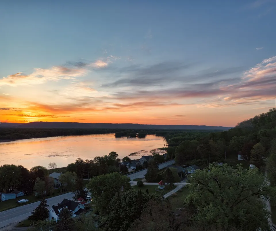
Park Rapids is easy to flatten into a postcard town, but that misses how the place actually works. On one side, Court Avenue and the courthouse complex make the city feel like the county seat it has been since Hubbard County was organized. On another, the Fish Hook River and Red Bridge Park pull people toward the water and the Heartland Trail. Between those two anchors sits a downtown that does more than host errands: it connects residents, visitors, and nearby lake country to the same small core. That mix helps explain why Park Rapids feels bigger than its population and more practical than its tourist image.
The river corridor is not just scenery
If you want to understand Park Rapids quickly, start at Red Bridge Park. The city’s park system lists it alongside Deane Park, Depot Park, Lindquist Park, Olson Ball Field, Pioneer Park, and Rice Park, but Red Bridge stands out because it links directly to Heartland Park and serves as a trailhead for the Heartland Trail. The research report also notes that the park sits on Beach Road, covers one acre, and connects to Heartland Park by way of the red bridge. That is a small physical detail with a big local meaning: the river is not separate from town life, but one of the routes people actually use to move through it.
That same corridor helps show why Park Rapids is more than a downtown business district. County parks widen the picture. Hubbard County says it maintains public boat accesses and beaches at places such as Stony Lake, Garfield Lake near Laporte, and Paine Lake at Lake George Community Park, while the Heartland Trail begins in Park Rapids and runs toward Cass Lake. In other words, the city is a node in a bigger recreation system. People do not merely “visit a park” here; they move among river access, trail access, lake access, and nearby towns as part of ordinary life.
A county seat with a long memory
Park Rapids also makes more sense when you remember that it is a government town, not only a getaway. Hubbard County was established in 1883, and the county seat was set at Park Rapids at the first meeting of the county commissioners. The National Register record in the research material says county offices began in rented quarters, later moved to a county building erected by Todd Township, and then into the courthouse built in 1900 on land donated by Cyrus Hollinger. That courthouse still matters because it explains why so much civic life remains concentrated here.
The town’s documentary memory is unusually strong for a place this size. The Minnesota Historical Society shows that the Park Rapids Enterprise began in 1882, changed names in 1883, resumed publication as the Park Rapids Enterprise in 1954, and is still publishing. Add the Hubbard County Historical Museum at 301 Court Avenue, and you get a clear picture: Park Rapids is not just where people pass through on the way to lakes and trails. It is also where the county keeps track of itself.
Daily life depends on regional systems
That civic role is paired with a regional one. Not every everyday service in Park Rapids is fully contained inside one city department, and that is useful to know if you are new here. The city website routes residents to KRLS for library service rather than presenting a city-run library department, and the school district points families to community education and career-readiness resources. For working-age adults and families alike, that means some of the town’s most useful services are shared across the region instead of being duplicated block by block.
Transportation is part of that regional pattern too. Heartland Express says it provides curb-to-curb service to Park Rapids and Bemidji and can get riders around the City of Park Rapids. The same service says it works with veterans services, community education, social services, Medicaid, and other partners. For a small city surrounded by rural roads, that matters more than a brochure claim would suggest. It means some appointments, errands, and connections depend on how the county moves people, not just on whether a household owns a car.
Park Rapids Municipal Airport adds another layer to that picture. The airport page says it has 44 T-hangars available for rent and a second-floor terminal meeting room that can be rented by the day or half-day. That is not a huge-city aviation complex, but it does show how local infrastructure serves more than one purpose. In a town like Park Rapids, an airport can function as transportation, business space, and a small community facility all at once.
What newcomers should notice first
If you are moving to Park Rapids, one practical lesson is that housing and permits are structured, not casual. The city’s rental pages list a rental license application, inspection checklist, safety guidelines, and short-term rental forms, while the planning FAQ says development plan review often takes about 60–90 days and many home occupations require conditional-use review. The city’s water and sewer pages also show a substantial municipal system with 1,370 water connections and 1,270 sewer connections. Those details matter because they tell you the town is built around rules, timelines, and utility capacity rather than guesswork.
Hubbard County’s housing profile adds one more useful clue: the county’s owner-occupied housing unit rate is 83.1% in the 2020–2024 period. That helps explain why the housing market can feel different from a larger rental town. Some of what appears available on a map may be year-round housing, seasonal property, or short-term lodging. For newcomers, the smart move is to separate those categories before making assumptions about a move, a commute, or a business plan.
Park Rapids rewards people who notice how the pieces fit together. The courthouse explains the civic center. Red Bridge Park explains the river corridor. Heartland Trail explains the regional reach. And the transportation, library, airport, and utility systems explain how a small city stays livable all year. If you want a simple first step, start with a walk from Red Bridge Park into downtown, then use the city and county pages to see how the rest of the map connects.